Services
Know Your Boundaries
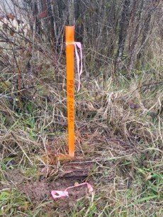
When you need a boundary surveyed Goodman Land Surveying, Inc. will locate, establish or reestablish your property or easement corners. We can also mark lines between the corners of your property or easement when requested.
ALTA (American Land Title Association) Surveys: An ALTA survey may be requested or required by your lender or title company. This survey is much more detailed survey, and requires much more research. The added details and knowledge will help you determine any burdens, possible disputes or unknown issues that can come back to haunt you after a purchase. This survey will give you that extra piece of mind of knowing exactly what you are getting for your hard earned money.
Boundary Line Adjustment surveys are required when you find a need to change current boundary lines, and each jurisdiction have established special requirements that we will assist you through the process.
Right-of-Way Survey: We can provide survey base maps for Right-of-Way projects. Working in project datum derived from the Washington State Plane Coordinate System. We have had experience with large scale Right-of-Way projects.
Elevation Survey
Elevation Certificate, may be needed for new construction, raising your house, or simply required to carry flood insurance, to ensure compliance with community floodplain management ordinances, to determine the proper insurance premium rate or support a LOMA (Letter of Map Amendment) or LOMR-F (Letter of Map Revision based on Fill). Goodman Land Surveying, Inc. will help you through the process.
Timber Surveys
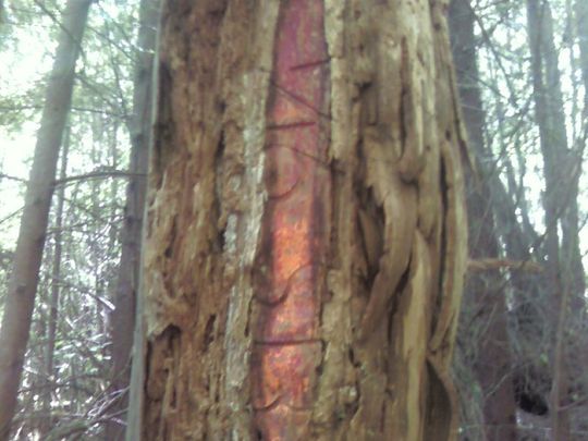
Blazing/Marking Line: We at Goodman Land Surveying, Inc. understand the importance of being able to protect your investment and know which trees you own or have the permission to harvest. No job is to big or small to ensure you maximize your harvest without encroaching on neighboring properties. Since corners are most of the time not inter-visible and across varying terrain. We take pride in having a well marked line to industry standard with your added specifications upon request.
Construction
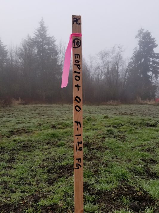
Construction Staking: We have had experience staking many different construction projects from driveways to housing development layout, with projects ranging from private sector to the public sector. We take pride in working with the contractors to provide the points they needed to efficiently construct your project.
Topography Mapping: We will provide necessary and accurate measurements to create any topography your engineer may need to properly design your project. With the high demand for digital drafting, we have had experience with creating base mapping with DTMs and contours in 3D.


